

Exhibit curated and designed by Katiana Bagué, under the supervision of Margarita Vargas-Betancourt.
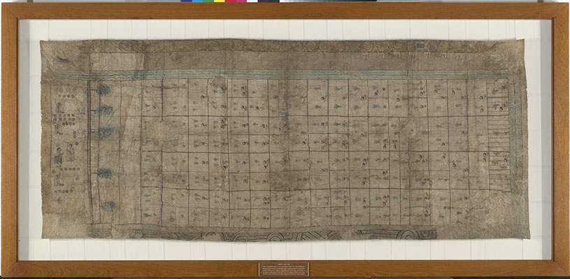
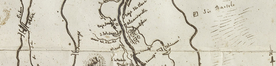
The Codex Reese, also known as the Beinecke Map, is an indigenous manuscript that illustrates a record of landholdings among indigenous peoples in the area of Mexico City. It is believed that the map was created circa 1565, with additions and edits made in the following years. While the Pimentel documents present land ownership primarily through text, the Beinecke Map does so pictorially. The map shows a rectangular grid of approximately 121 fields, divided among 143 indigenous landholders. The landholders, both male and female, are identified with a small head profile and a name glyph attached to it. The manuscript also shows certain plants among the fields, such as the tules and maize crops, bodies of water, and a road with footprints found on the left side of the page. Here the land is interpreted as somewhat equal geometric spaces, with an emphasis on some of the crops found within.