

Exhibit curated and designed by Katiana Bagué, under the supervision of Margarita Vargas-Betancourt.
-crop-u2228.jpg?crc=61343276)

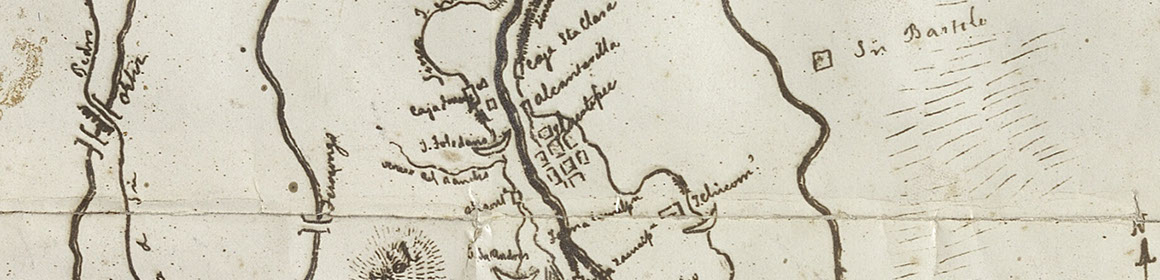
Maps are not meant to be literal representations of land and geography. Rather, they are illustrations with their creators showcasing their own ideas and perspectives of the natural world around them. As seen with the maps from the Luis García Pimentel Collection, there are varying ways to think, visualize and depict land. Some artists and writers from this exhibit visualized land as merely simple geometric spaces to detailed three dimensional drawings. Others took the time to depict not just solely space and property, but also nature and significant land features. Those maps therefore can be easily compared to the Codex Reese. Others were more concerned about ways of dividing land and bodies of water, and thus the line played an important role in these maps in showing those divisions. These maps also worked to emphasize land ownership by accompanying legal text that certified or established such matters. This legacy and expression of land ownership was evident then and continues very much today.